Duration: 2 hours
Difficulty: T
Elevation gain: 100 metres
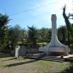
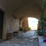
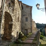
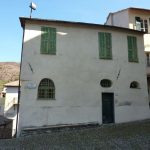
From the parking area of the village near the Eccidio of Torre Paponi’s Monument to the Fallen (1984), continue to Via Trieste and, after a few meters, take the first mule track on the left that enters through the walls of houses in the historical district and, to Via Mameli, in the narrow and picturesque alleys of a village perfectly preserved in its historic building, which was – and still is – the subject of a long and ambitious project of urban requalification.
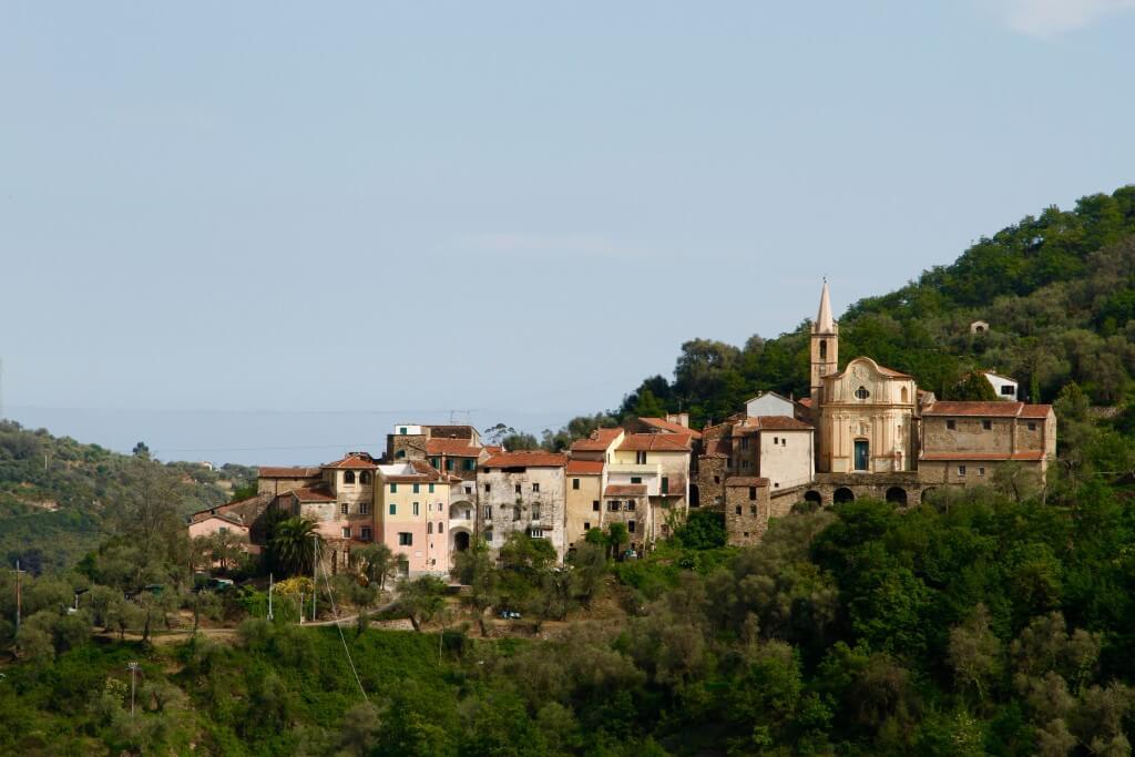
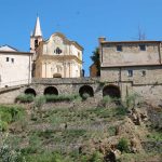
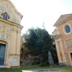
In this way, following the alley you come to see on the left Via Carducci, the “way of museums”, that will lead through a steep panoramic climb to Piazza Santi Cosma e Damiano, one of the most beautiful baroque religious poles in the region, where are located the homonymous parish church, the oratory of the Holy Annunciation and the old rectory (XVII-XVIII centuries) forming a series of theatrical scenes projected on olivate expanses of the San Lorenzo middle valley.
Learn more
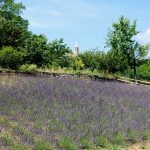
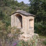
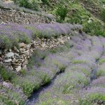
Arrived near a rustic mansion (after about 1 hour from start), continue on the left, on a narrow mule track, through a forest of beeches, downy oaks and holm oaks until meeting, after about 50 meters, an asphalted carriage road; from here go on left, where the cisterns and tubs for water harvesting destined to the crops and orchards follow us and where, until a few decades ago, grew up terraces and small fields of lavender that, like the surrounding meadows of Pietrabruna and Boscomare, painted the high valley with violet and blue. Although over the time it has been falling until almost disappearing altogether, the traditional cultivation of lavender (the “lavandin”) is returning once again to populate our territories and painting blotches that open up in the wooded cloak; therefore, it is not unusual meet some bushes along the way.
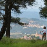
The path here is not very clean and the vegetation grows wild (wild fennel, broom, thyme etc.), and leads us up to the highest point, of the ridge line, where it meets a mule track on the right, that moves parallel to the coastline offering at every steps an extremely suggestive views on the villages of Lingueglietta and Boscomare alternated to forests of hornbeam, flowering ashes and pine forests of Aleppo. Finally crossed a ford at the fork, keep to the right until reaching the main road that leads us along the “Via della Costa” and, more to the right, towards the historical center of Lingueglietta.


